Location-based services are just a hint of what is possible with location information. There are other large-scale applications of location information that are known as Geographical Information Systems. GIS, for short, these applications integrate maps, locations, and other data to provide users with information crucial to their projects. For instance, a project about development in a semi-urban setting will require GIS to plan out their project. The use of geographical information is also beneficial when prospecting for a location to mine minerals based on the geological structure of the region. The benefit of GIS over location-based services is that location-based services have limited uses and applications.
In contrast, GIS has more applications and is used on a broader scale. In addition to showing location information and pins on a map, geographical information systems have been designed to have more contextual information related to the location data. For instance, GIS applications that are used for weather forecasts have the elements of weather on a map.
These also include plenty of metadata to make the location information more contextually useful for the end users. For instance, a map that shows population distribution can include other details such as health distribution, wealth distribution, and the income of the people on the map. Whenever information is put into the context of location, there is so much more that one can manage to accomplish. For instance, accurate weather forecasts from GIS can include the weather ahead in a manner that will be easy for weather and climate scientists to understand.
Mining and GIS
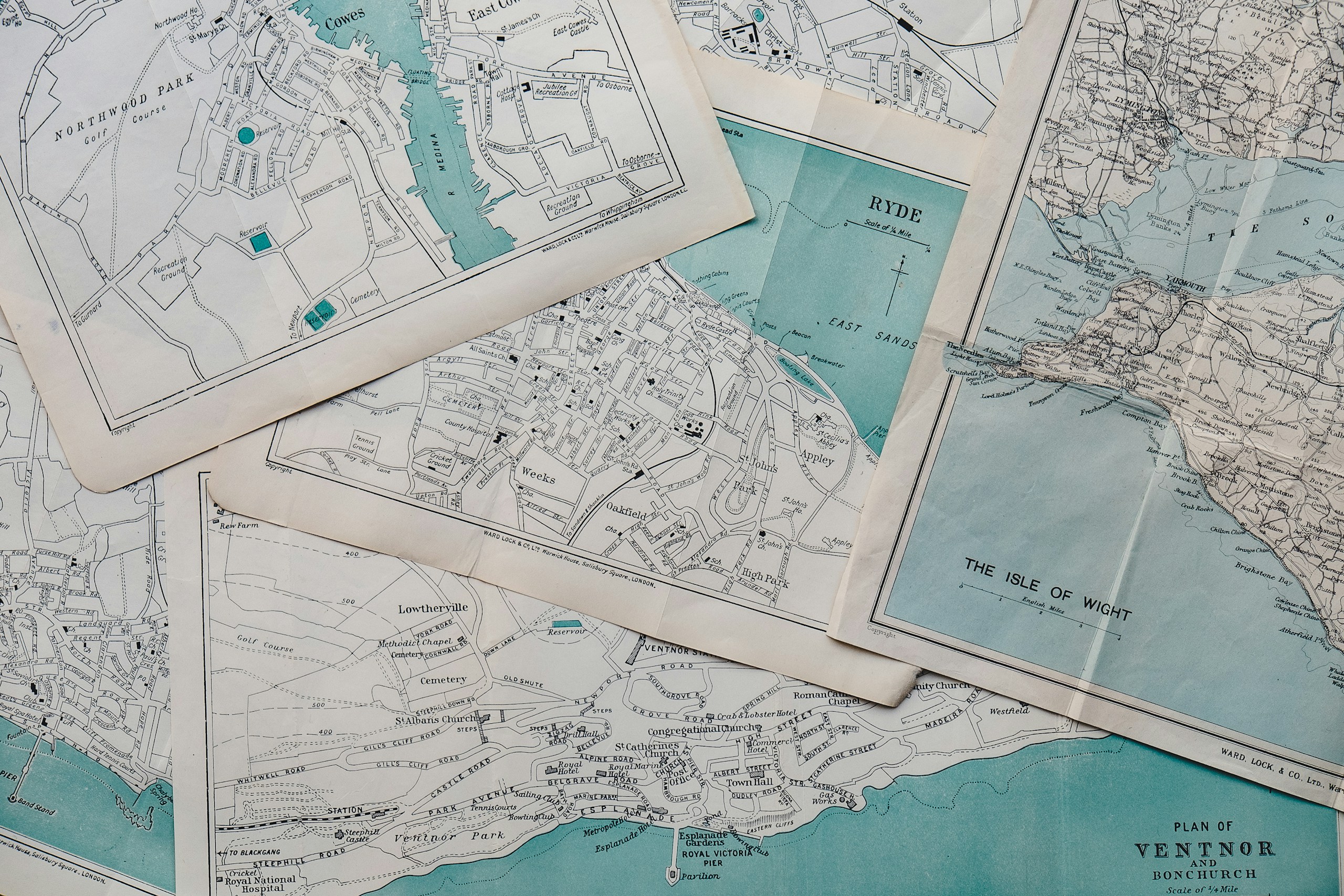
Geographical information systems have many areas of applications, and mining is an excellent example of these applications. Before the ground can be excavated and prepared for mineral extraction, GIS apps can survey the area more keenly and ensure that the mining company gets the best returns on its investments. The applications distribute geographical information accurately.
This means that the engineers, surveyors, and other experts will be able to determine the location of good mineral deposits and use this to profit from mining. With GIS being used in mining, only the profitable deposits will be targeted, reducing the amount of exploratory mining necessary to get a good spot. With this, the planet and the environment can be saved and natural conditions restored. The mining will also be more accurate, and the yields will be more significant when location information is used to narrow down and select the best ground spot to mine.
The mining will also avoid areas known to have geological events, such as earthquakes, which means that the whole operation will be safe and secure for the miners and the mining equipment used. The use of GIS for the project will also be used to discover new mineral deposits based on the data that has been gathered over time. With GIS, there is much more information to deal with, but how it has been presented is friendly and comprehensive.
The information can also be spread over a map to enable someone looking at it to interpret different factors about a location. GIS makes it possible to carry out location-based projects that rely on loads of information, and it is one of the best applications for the modern age. The applications can display location information more accurately and are helpful for many applications, from mineral exploration to weather research.
GIS and International Ocean Shipping
On the open ocean, the use of GIS applications makes it easier for shipping lanes to be more organized. With the location of the ship carrying goods known, GIS makes it easier to plot a course and get goods to international destinations on time. When bad weather is expected at sea, the information will be relayed in real-time to the ship, and the crew will be given an early warning about bad weather ahead. Mapping out storms on the sea is usually complicated since there is no definite land mass in the open vastness of the ocean.
However, the use of GIS can make it easier to use location details more accurately to improve the safety of marine operations and secure the routes being used for international shipments. Avoiding bad routes and getting warnings about expected weather changes is much easier for modern ships since the GIS software can be extended to include other features that are only required for sea shipping. With this in place, your cargo will arrive at the port on time, and your business can handle logistics on a larger scale.
Geographical information is essential for the modern age, where information is used to make people’s lives easier and bring productivity and efficiency improvements to how they handle information and use it in their everyday life. The application areas have economic impacts, making it essential for people always to have the correct location information to work with. No matter what you need GIS for, you will find it quite effective at enabling you to reach your goals. For businesses, organizations, and even startups that need to provide location-relevant information and services, GIS can be used to add location information to everyday datasets and make better use of it.
GIS and Territorial Security
GIS is essential for keeping nations and countries safe and secure. It is used to create relevance out of location information. It can be used to manage natural resources in a country, keep itself secure and plan for development and progress agenda for the nation. With GIS, those infrastructure projects will be more accurate, and the government will deliver an exceptional perk to their citizens. GIS is also used for the control of natural resources and securing territories. Regarding security matters, it can help ensure that the nation’s borders are secure and safe from all manners and forms of attack.
GIS: Giving Context to Location
Geographical information systems help add context and relevance to location information. They are applications that can be extended and used to provide more functionalities and features to the end users. Businesses, organizations, startups, and governments are using geographical information systems to improve operational efficiency and effectiveness. Data attached to location has a different meaning and will make it possible to use a location for more informed decisions and keep businesses active and operational.